
Data on Brazil's Nighttime Lighting Developed at Gdańsk Tech Included in MapBiomas
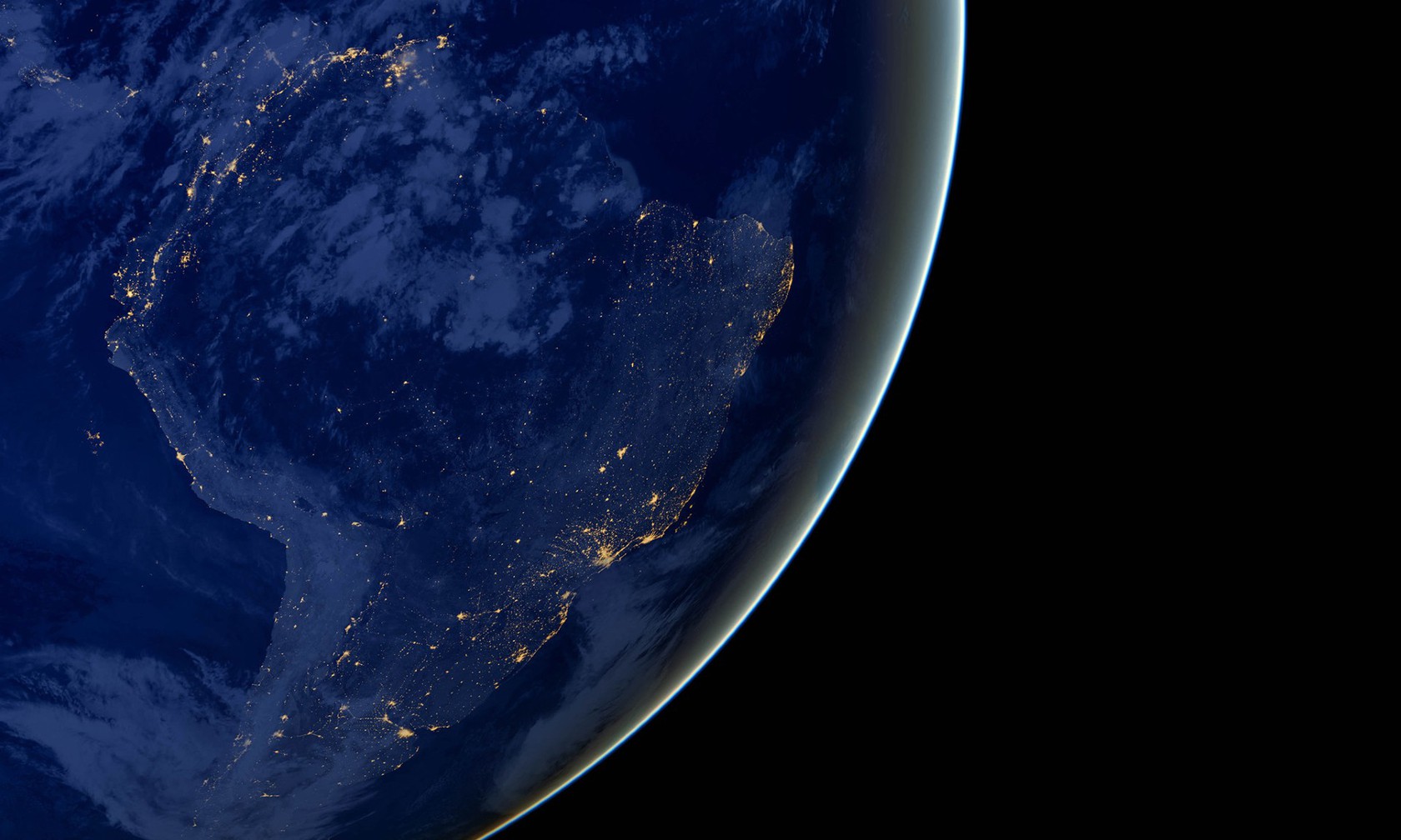
Data on satellite night radiance for the entire Brazil, developed by Dr. Eng. Paweł Tysiąc from the Faculty of Civil and Environmental Engineering at Gdańsk Tech, has been made available within MapBiomas Brazil. The new layer covers the years 2013–2025 and allows for the analysis of changes in artificial night lighting intensity across the entire country.
Data on satellite night radiance for the entire Brazil, developed by Dr. Eng. Paweł Tysiąc from the Faculty of Civil and Environmental Engineering at Gdańsk Tech, has been made available within MapBiomas Brazil. The new layer covers the years 2013–2025 and allows for the analysis of changes in artificial night lighting intensity across the entire country.
MapBiomas is an international, multi-institutional initiative founded in Brazil that develops open spatial data based on satellite observations. It combines remote sensing, GIS, and data processing, enabling the monitoring of environmental changes and land use patterns. The MapBiomas network is currently present in 14 countries, and its data is used in scientific research, environmental monitoring, planning, and public institution activities.
A new layer dedicated to artificial night light has been added to the Urban MapBiomas Brazil collection. It includes annual night radiance data for the entire country from 2013 to 2025, developed by PhD Eng. Paweł Tysiąc. This allows observing urbanization processes not only through land cover changes but also through the development and intensification of night lighting related to human activities—both in urban and rural areas, as well as surrounding natural environments.
The developed method uses a qualitatively weighted lognormal model. NASA Black Marble VIIRS daily observations undergo quality control and are then used to determine the annual expected radiance considering its variability. The product also contains information regarding dispersion, effective number of observations, temporal coverage, and estimation uncertainty.
The work on this solution was conducted in collaboration with the MapBiomas team and Universidade Estadual de Minas Gerais. Among those involved in the development, evaluation, and implementation of the solution were Dr. Vinicius Goulart and Prof. Camila Teixeira.
Incorporation of the data into MapBiomas means that the developed method and code have been transformed into a functioning geoinformation product accessible within the international Earth observation infrastructure. However, the platform’s significance extends beyond scientific applications. According to MapBiomas information, the project’s data contributed in Brazil to imposing fines exceeding USD 130 million related to deforestation and blocking over USD 1 billion in funding.